Department of Aviation issued the following announcement on Sept. 21
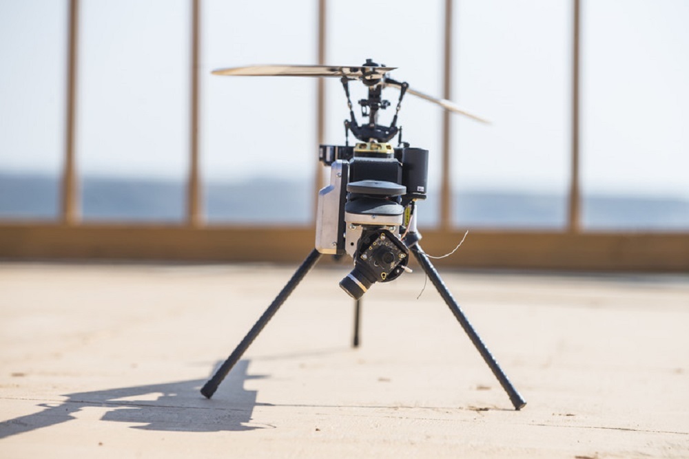
Residents in Winchester may notice unusual activity in their airspace this week. Remote-controlled, unmanned aircraft will take to the skies as the Winchester Emergency Management Department begins tests to explore ways that drones can be used. Drones can potentially collect data from water meters; inspect road conditions; detect energy inefficiencies in buildings; ensure that city maps are up to date; and even check the health of municipal trees.
The aircraft tests are being conducted by the Virginia Beach-based company DroneUp in partnership with city staff and the Center for Innovative Technology (CIT), the nonprofit operations division of the Virginia Innovation Partnership Authority. CIT has contacted several municipalities, including Winchester, across Virginia that may possibly be interested in becoming a “smart city.” These ‘smart’ localities will take part in a program to utilize sustainable and resilient technologies to collect data and automate processes.
Scott Kensinger, Winchester’s emergency management coordinator and manager of the city’s drone program, said in a recent news release, “….the city hopes to enhance its drone program and take full advantage of the opportunities drones can provide in improving efficiency of local government operations.”
Winchester Development Services Director Shawn Hershberger said, “If Winchester continues to grow its technology opportunities, we could potentially attract a new type of commerce and manufacturing to our city and provide educational opportunities for local students.”
Winchester tested “smart city” technology during Tropical Storm Ida, when flood sensors were installed in Town Run and Abrams Creek to collect flood data that will be added to a statewide dashboard that monitors water flow rates.
For drones to become commonplace in and around Winchester, John Eberhardt III, chief technology officer at ATA, LLC said that the first step is going to be mapping the airspace above Winchester, which in turn will attract companies that manufacture drones and provide support services for the drones. Winchester is working with the Winchester Regional Airport and the Virginia Department of Aviation’s Flight Information Exchange (VA FIX) program to test drones for commercial applications while ensuring local airspace safety.
Original source can be found here.


 Alerts Sign-up